
Get in touch with us at info@craftedgrowth.ca

Geospatial Intelligence for a Sustainable Future
Advanced GIS data solutions providing comprehensive and accurate geospatial intelligence tailored for Mining, Reforestation, and Forest Fire Monitoring. Our cutting-edge data empowers stakeholders to make smarter decisions, optimize operations, and protect critical assets.
About Crafted Growth
A technology company specializing in GIS geospatial reports and consulting services tailored for monitoring large-scale tree planting projects in the reforestation industry. Our focus is on delivering innovative solutions that promote environmental sustainability and ecosystem restoration. Through our platform and consultancy services, we strive to drive positive change in the forestry sector and contribute significantly to a greener planet.


OUR SOLUTION
"If you don't know where you are going, you'll end up someplace else.”
Yogi Berra
Baseball Sage and Master of Plain-Spoken Wisdom

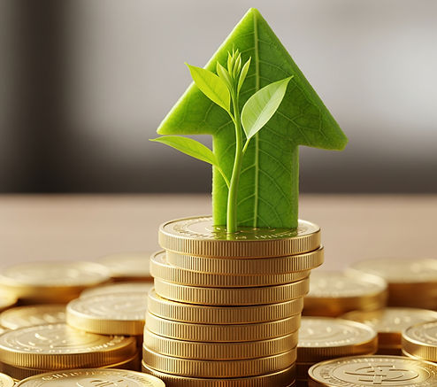
High-quality Carbon Credits
We support the development and sale of high-quality carbon credits
-
We deliver well-managed nature-based solutions that fully address additionality and permanence, key elements of high-value carbon credit projects
-
Our projects are designed to address the Core Carbon Principles of the ICVCM1 and meet the stringent verification requirements set out in credible standards, such as Verra VM00472
Other Industries Served...
Crafted Growth Technology is expertly designed to provide outstanding data and solutions, making it the ideal option for any company seeking extensive, remote, and detailed information!
Mining
Satellite imagery can be used to identify potential mineral deposits, monitor mine sites, and assess environmental impact.
Oil & Gas
Satellite imagery can be used to explore for new oil and gas reserves, monitor pipeline infrastructure, and assess environmental impact.
Agriculture
Satellite imagery can be used to monitor crop health, assess soil moisture, and optimize irrigation.
“This platform is a powerful tool that combines satellite data analysis with customized reporting. It provides clear, accessible information that meets the needs of stakeholders from various backgrounds. I confidently recommend Crafted Growth to anyone engaged in remote assessment projects — it’s an essential resource.”
Crafted Growth User, 2024

The Team
Each bringing valuable expertise and diverse experience. Together, we are committed to driving growth and making a significant impact on global reforestation initiatives.


